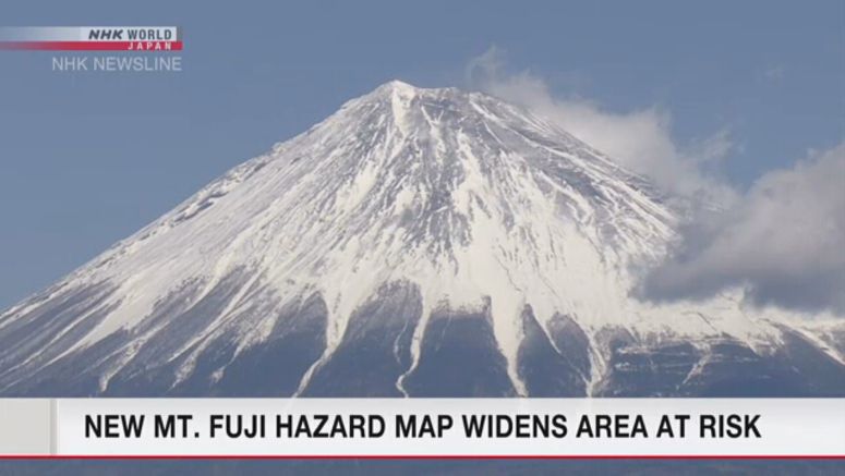
Volcanic Hazard Map Revised For Mt. Fuji

A volcanic hazard map for Mount Fuji in central Japan has been revised for the first time in 17 years, doubling the estimated volume of lava flows in the event of a major eruption.
The map was presented to an online meeting of a Mount Fuji disaster management council on Friday. The council is made up of several officials, including those of the central government and authorities of Shizuoka and Yamanashi prefectures, which straddle the mountain, and neighboring Kanagawa Prefecture.
The map was updated, based on the latest study results and geographical data.
It shows far more craters than were in the previous map and estimates that a major eruption would cause a flow of 1.3 billion cubic meters of lava, or about twice as much as previously estimated.
The revised map also shows that lava flows could reach 12 more towns and cities in the three prefectures -- including those located more than 40 kilometers away.
Uenohara in Yamanashi Prefecture, Sagamihara and Odawara in Kanagawa Prefecture, and Shimizu in Shizuoka Prefecture are among the municipalities.
The council also assumes that lava flows may reach the center of some cities or towns at the foot of the mountain faster than previously assumed.
It also says 96 percent of previous eruptions were minor or medium-sized but that the next eruption could be a big one.
The council will revise evacuation plans for wide areas based on the revised hazard map. Local governments will also review their disaster preparedness plans.