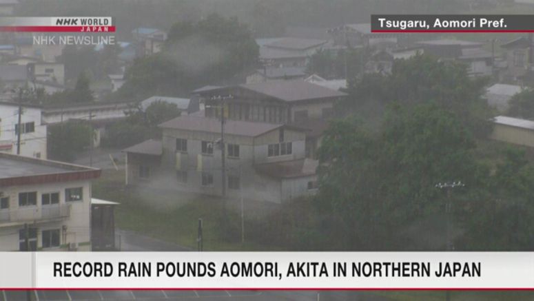
Record - Level Rain Pounds Aomori, Akita Prefectures In Northern Japan

A stationary front lingering around northern Japan has brought record rain to the prefectures of Aomori and Akita, further increasing the risk of mudslides and floods.
The front is expected to remain for about a week.
The prolonged heavy rain could cause damage over wider areas.
Japan's Meteorological Agency says warm and damp air is flowing towards the rain front hovering near northern Japan, causing rain clouds to develop sporadically in northern Tohoku and other regions.
More than 360 millimeters of rain has fallen in Fukaura Town in Aomori Prefecture since Monday, accounting for more than double the average rainfall for the entire month of August.
Other areas have experienced rain over the average for August.
The continuous rainfall has increased the risk of mudslides, and alerts have been issued to parts of Aomori and Akita prefectures.
Downpours of more than 50 millimeters per hour, accompanied by thunder, may occur in northern Japan through Friday.
In northern Tohoku, up to 120 millimeters of rain is expected in the 24 hours until late afternoon on Thursday. Hokkaido can expect up to 100 millimeters and southern Tohoku up to 80 millimeters.
During the 24 hours ending late afternoon on Friday, northern Tohoku can expect between 100 and 200 millimeters of rain, and southern Tohoku and Hokkaido between 100 and 150 millimeters.
Weather officials are urging caution against mudslides, floods in low-lying areas, overflowing rivers, high winds, including tornadoes, lightning and hailstones.
Residents are being advised to remain in safe places and not go near rivers, cliffs and other dangerous areas even when the rain lets up.
Meanwhile, a tropical depression south of Japan and moving northwest is expected to develop into a tropical storm within the next 24 hours.
It is expected to continue to move northward and may come close to eastern Japan on Friday evening or Saturday.